Mapping for Transparency
By Kate Traynor, MURP ’17
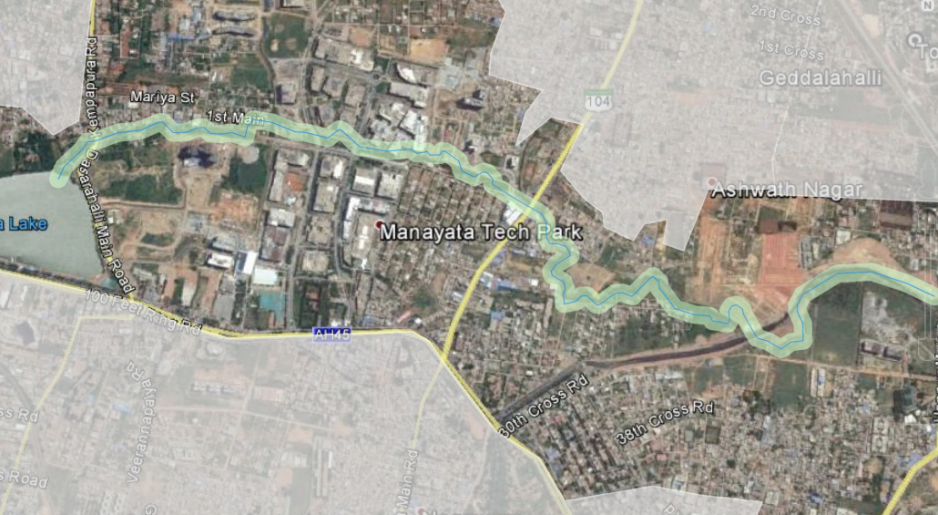
The bargain for Bangalore’s recent economic ascendance as India’s IT capital came with untold city planning problems. A new challenge revealed itself this summer when flooding from heavy rains wreaked widespread property damage. In response, the city moved to clear encroachments on storm water drains, articulating the cause and effect between Bangalore’s crushing development boom and its overburdened infrastructure. Over the past 15 or so years, wetland and low-lying areas that long provided critical storm water drainage have been built up. Now drainage networks heave with apartment buildings and offices.
In the face of hundreds of water-damaged homes and businesses, the regional development agency released figures suggesting that 29 of the 53 tech parks in the city and about 2,300 apartments are built on storm water drains. Where the drainage network hasn’t been built over, it is commonly used as a dumping ground for construction debris and solid waste — uses that degrade or totally preclude any waterway’s hydrologic functionality. The primary explanation for this egregiously ill-advised construction may be corruption. The permitting process is not transparent and the tech sector is well-endowed, so conditions are good for “flexible” code enforcement.
So the state stepped in, giving the city a directive to remove anything blocking a storm water drain. Dutifully, the city initiated a round of demolitions, tearing down apartment buildings with little notice. A spate of hasty demolitions was quickly followed by a round of accusations and hot dispute of the data directing the bulldozers. It then came out that a set of revenue maps that have not been comprehensively updated in anywhere from 10 to 100 years are the city’s primary reference. Public outrage detonated. With the city’s transfiguration in recent decades, the supposedly authoritative maps are essentially illegible when taken down to the street level and compared with the visible landscape.
The maps are now being excoriated. But these outdated maps are not the root of the problem, only a symptom of a deficient municipal decision-making environment. Based on my work with local urban planners and multiple city departments this summer, I can say that the city’s data maintenance is poor, processes are not open to the public, and there is minimal coordination between departments. City officials are effectively approving decisions that change the face of the city — decisions like build or demolish — with little data and even less accountability.

This is where my summer project fits in. Bangalore needs a centralized, authoritative geospatial database. I have spent much of the summer on exactly this vision: a geospatial framework for the city. The objective of our project is to persuade the city government that a centralized geospatial data portal is worth funding — that a publicly accessible geoportal that integrates the fragmented data from individual departments and dedicates resources to maintaining accurate, data-rich maps is a necessary first step to adequate service provision.
As it turns out this idea is quite fashionable. I’ve spent hours reading about the wonders of open data and the many case studies of successful government geoportals worldwide. Including, of course, LA’s very own Geohub (geohub.lacity.org). While producing a literature review on the state of open geodata was informative in an academic sense, seeing its practical application unfold in real time has been instructive in the thickly nuanced earthbound sense. I guess this is my ode to turning ‘‘theory into practice.”
I’m afraid the theory I’ve seen borne out this summer is not the open data theory of change. The promises of open data and e-governance are plenty hyped, but still just promises from where I am sitting. I see the institution-based theory of economic growth. The quality of a region’s soft institutions (defined as norms, networks, social conventions, etc.) has ramifications for its economic development potential; corrupt and inefficient institutions undermine that potential.
What this experience has laid bare for me is the urgency of ethical, transparent governance as a critical first step to inclusive economic development. The-bought-and-sold political machinery and structural corruption are matters of course in India, accepted as inevitabilities and budgeted into the cost of doing business. And corruption is costly. The flooding and ensuing demolitions were a baleful reminder of that. So yes, open data has a role to play in anti-corruption and the city would benefit by an open geospatial database, but e-transparency is but one small dimension of real transparency.